
AiDash
UnknownSatellite-first AI applications for remote inspection and monitoring of critical infrastructure.
工具信息
什么是 AiDash?
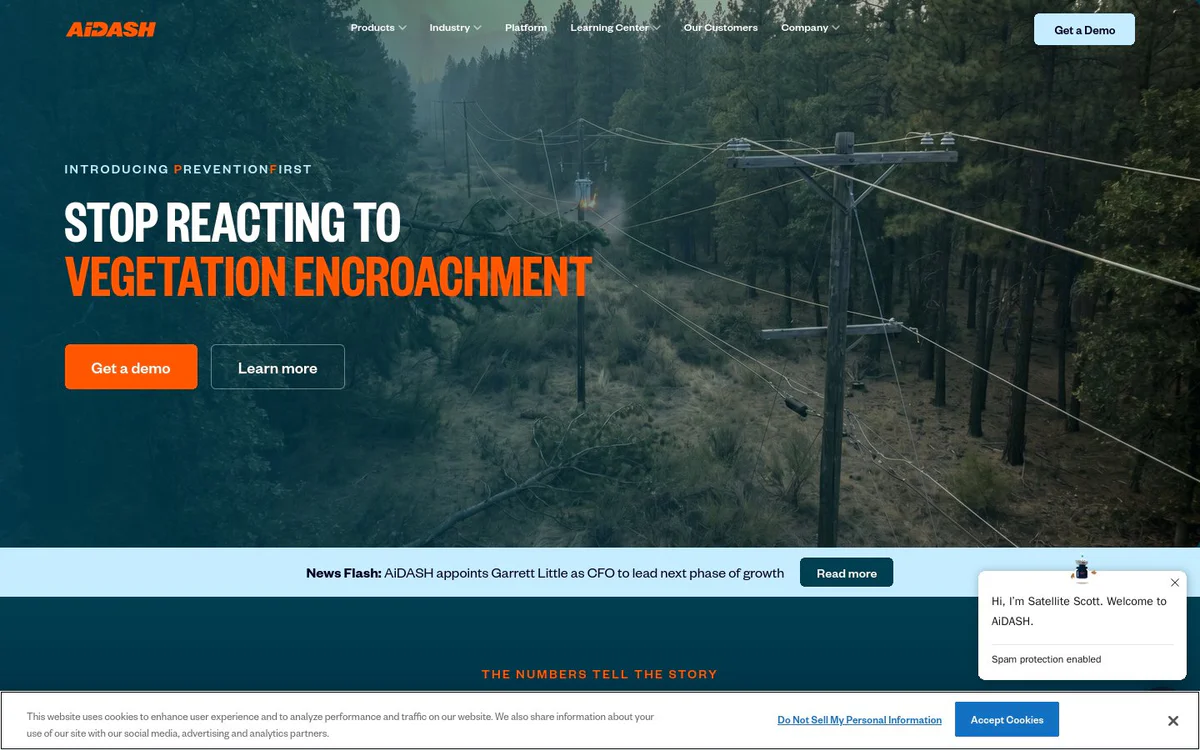
AiDash is an enterprise SaaS company that delivers satellite-first AI applications for remote inspection, monitoring, risk assessment, and management of geographically distributed critical infrastructure assets. It serves utilities and related industries with actionable insights derived from satellites and AI to support reliability, compliance, and operational decisions.
核心功能
Intelligent Vegetation Management System (IVMS)
Applies a risk-based approach to utility vegetation management using satellites and AI to improve reliability and reduce expenses.
Biodiversity Net Gain Management System (BNGAI)
Enables management of biodiversity and carbon programs with remote sensing and AI-based habitat mapping.
Integrity and Encroachment Management System (IEMS)
Supports surveying of pipelines and their rights-of-way for integrity and encroachment monitoring.
Climate Risk Intelligence System (CRIS)
Provides climate risk intelligence for wildfire mitigation and storm resilience planning.
Asset Inspection and Monitoring System (AIMS)
Enables remote inspection and monitoring of critical infrastructure assets from space.
Wildfire Mitigation Planning Services (WMPS)
Supports planning and execution of wildfire mitigation programs using satellite and AI insights.
Accessible, Actionable, and Compliant Insights
Delivers satellite and AI data that is accessible from C-suite to field, actionable for timely decisions, and compliant for regulatory reporting and risk reduction.
使用场景
- #1
Utility vegetation management
Risk-based vegetation management for electric utilities to improve reliability and cut costs using satellite AI.
- #2
Wildfire mitigation and storm resilience
Planning and intelligence for wildfire mitigation programs and storm preparedness for critical infrastructure.
- #3
Pipeline and ROW surveying
Remote surveying of pipelines and rights-of-way for integrity and encroachment management.
- #4
Biodiversity and carbon program management
Remote sensing-based management of biodiversity net gain and carbon programs.
- #5
Critical infrastructure asset monitoring
Satellite-first remote inspection and monitoring of distributed assets across utilities and energy sectors.
定价方案
Pricing details are not clearly published by the official source.