
Picarta
UnknownEstimate where photos were taken with AI-powered image geolocation.
Informações da ferramenta
O que é Picarta?
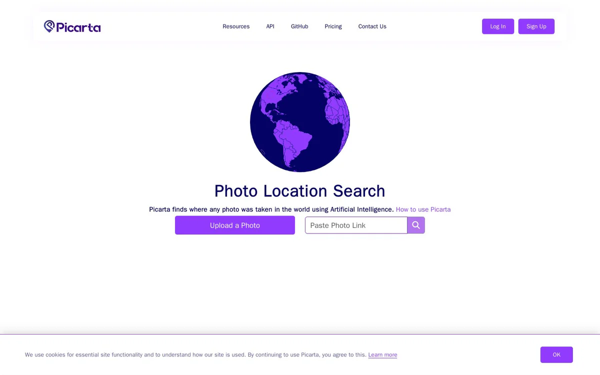
Picarta is a web-based image geolocation tool that analyzes visual clues in photos to estimate their geographic location. It can return likely GPS coordinates, cities, and countries, along with confidence scores and map results.
Recursos principais
AI photo geolocation
Analyzes visual clues such as architecture, landscapes, vegetation, and signage to estimate where an image was captured.
GPS coordinate predictions
Returns predicted latitude and longitude with confidence scores for likely image locations.
Flexible image input
Accepts uploaded photos or pasted image links for location analysis.
EXIF-independent analysis
Estimates a photo's location from its visual content without relying on EXIF metadata or embedded GPS tags.
Map-based results
Displays predicted locations on a map and provides access to Google Maps.
Geographic search scope
Supports worldwide searches, country-specific searches, and analysis focused on a specific area.
Image metadata display
Results can include latitude and longitude, timestamps, and camera details.
Casos de uso
- #1
Image location verification
Helps users investigate where a photo was taken or verify an image's geographic context.
- #2
OSINT investigations
Supports OSINT investigators analyzing and verifying image locations.
- #3
Journalism and research
Helps journalists and researchers investigate the geographic context of images.
- #4
Travel and photography
Can help travelers and photographers identify locations shown in photos.
- #5
Law enforcement investigations
Listed by Picarta as a use context for its image geolocation service.
Planos de preços
The official page includes pricing navigation and indicates that users may need to log in, register, or upgrade their account to access full result details. Pricing terms and a specific pricing model are not clearly published in the available source.
Alternativas








Perguntas frequentes
What is Picarta?
What information does Picarta return?
Can Picarta analyze images without GPS metadata?
What types of images can I submit?
Can Picarta search within a specific geographic area?
Are Picarta's location results definitive?
Does Picarta have published pricing?
Picarta Contato e mídias sociais
- EmpresaPicarta S.r.l
- E-mail de suporte
- Suporte
- Site:
- Twitter
- Instagram
- YouTube
- TikTok
- GitHub
- Discord
Comentários
Compartilhe sua experiência com esta ferramenta...